This is the last Burnin'-themed title. I promise.
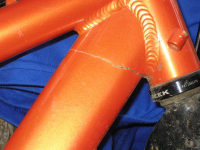
Ok, we know the Pimp and 3-Bowl like to do everything together, right down to riding (formerly) matching Buzz Bombs. But breaking them in nearly the same place is getting a little carried away. This crack in Larry's frame had them sharing a bike for most of the race.

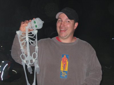
John F. Stinkbait was in fine form, decorating the climb up to the campground with an assortment of inspirational items, slamming alcoholic energy drinks, emceeing the awards, defending his buddy... A regular whirlwind in a thorn tree.

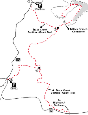
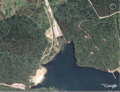
Kirby and I did a ride from the campground that he named "the 3 Fingers." Start at the campground, and head up the new connector and hit all 3 branches of the Ozark Trail between 32 & DD- North Trace Creek up to DD, Middle Fork up to the DD/32 intersection, and South Trace Creek up to 32. South Trace coming back is especially fun. It's a 20 mile roundtrip according to his cyclocomputer, and another excellent ride you can do from Council Bluff now that the new connector is open.


